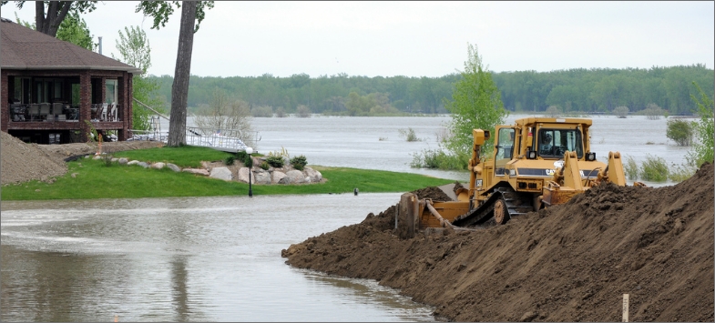
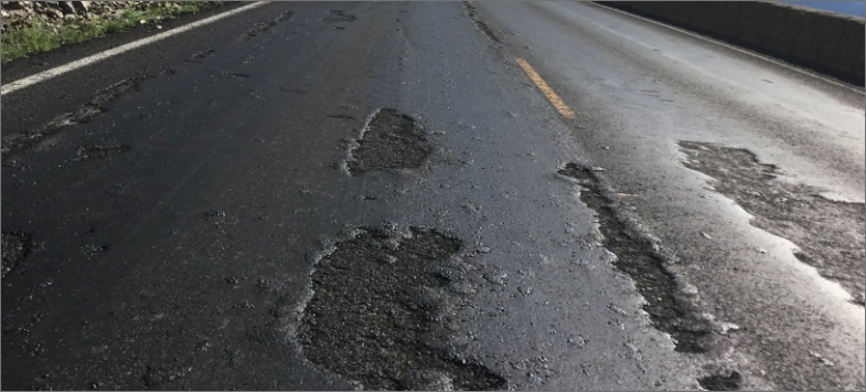
Levees
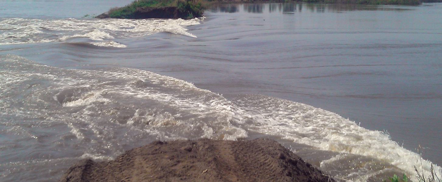
Utah’s geography rapidly transitions from high elevation, mountainous terrain, to low-lowing basins or lakes, which puts communities in the path of potential flooding. Levees are instrumental to Utah’s flood control system. There are between 102 and 112 miles of levees statewide with approximately 252 individual segments averaging nearly 60 years old. It is estimated that over 125,000 residents are protected by the state’s levee infrastructure and the total risk to property, should a failure occur, exceeds $10 billion. While little to no construction documentation or condition data re available for existing levees, public safety information regarding floods in Utah includes 23 recorded injuries and 30 recorded deaths since 2000, with 17 flood-related deaths in 2017 alone. Given Utah’s flood-prone areas and community encroachment on levees, the public safety consequences or costs of failure have and will continue to increase over time. However, in much of the state, limited to no planning exists for emergencies, such as levee breaches. Changes to federal flood mapping, which will increase insurance costs, m ay mean that many owners cannot afford coverage and would therefore not be eligible for federal recovery funding if flooding occurs. With absent available state and federal funding, local municipalities have taken action to address changes in flood mapping and levee deficiencies. These projects have included levee improvements in Cache, Weber, Iron, and Salt Lake Counties.